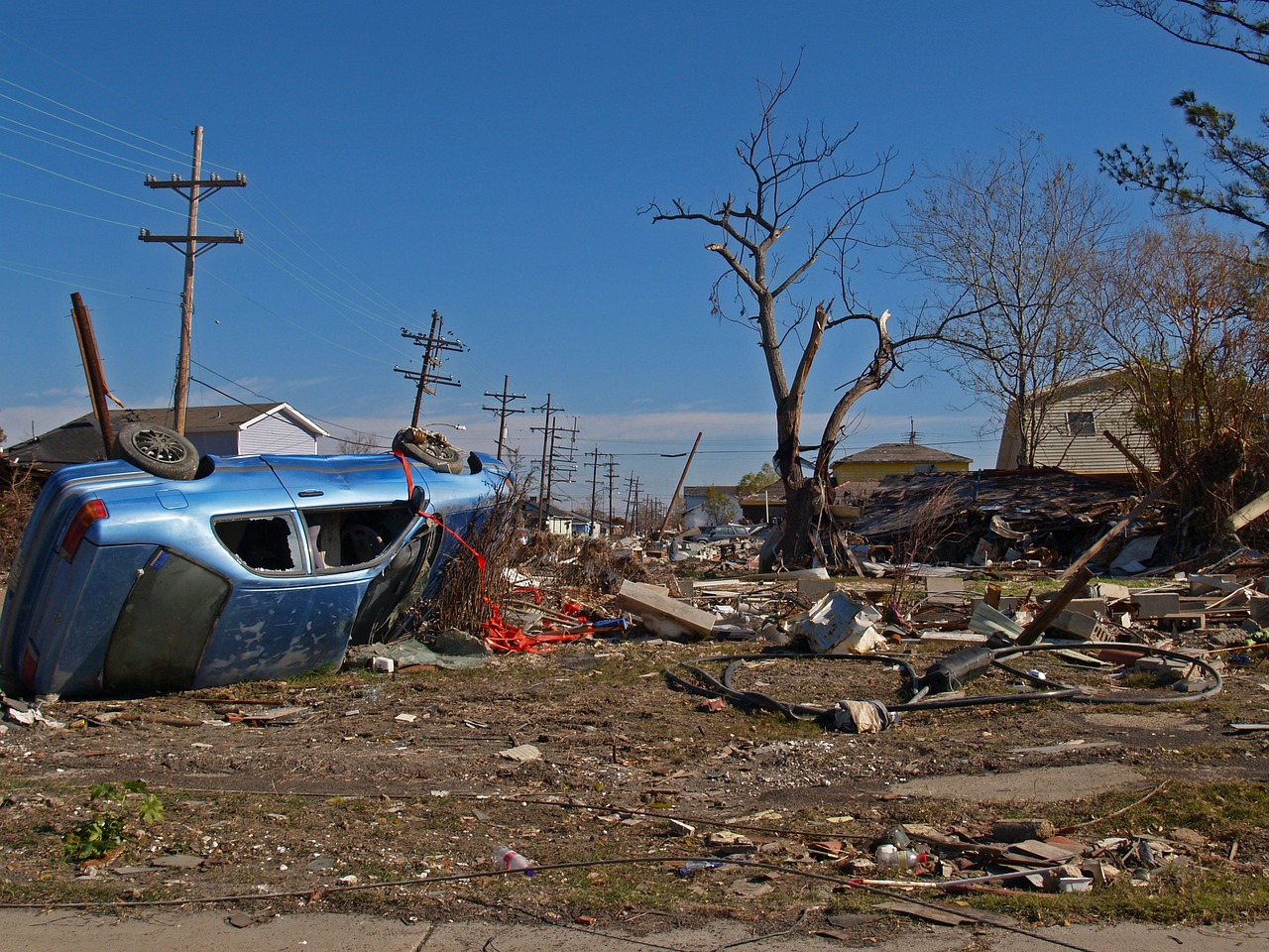
Image by Gabe Raggio from Pixabay
A new system called Pomelo has been developed to estimate population densities during emergencies with unerring accuracy using artificial intelligence. The system has been designed to provide a fast and accurate mini census in times of emergency, such as natural disasters or war.
Pomelo, created as a joint venture between the International Red Cross, Lausanne Polytechnic and Bin Khalifa University in Qatar, uses large sets of data from remote sensing systems, and uses a neural network to identify likely population densities. Typically such data is hard to gather, either because of lack of time or limited resources, or the fact that numbers change so fast in a crisis situation.
The software can gather data from average building sizes, road maps, lighting and other factors, and crunch the numbers to provide a close estimate. This can then be used to calculate the relief volumes that are needed, or how to allocate resources such as food, medicine and other essentials.
Pomelo Does It Better
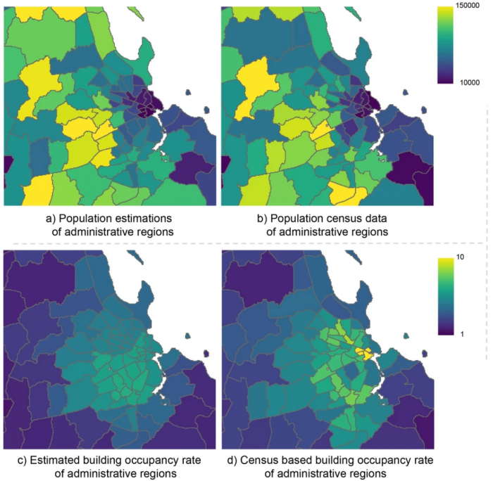
The key thing about Pomelo (population mapping by estimation of local occupancy rates) is the fact that it doesn’t need precise census data to start. The program can take rough regional data, then combine it with public data sets and sensors to produce numbers down to the sub-hectare level. In the chart above, we can see the comparison of estimated population densities on the left images, with the census data on the right hand side.
The engineering team tested their program in several African countries, and it proved to be significantly more accurate at producing estimates compared with other systems. The machine learning algorithm can be trained over various scenarios, for example densities in proximity to forest areas, and then apply that training to different locations.
As with everything AI, it’s crucial that the training is as good as it can be. The more countries that can be used to train, the better the overall accuracy. The model sees the similarities in different countries/regions and can then make very good estimates based on the data being examined. The team hope to keep adding potential data sources, such as anonymous Facebook data, and open source map data as time goes on. In this way the accuracy should be improved significantly.
It’s good to see that AI can actually be used for more than just producing artsy anime models or game landscapes. Hopefully this is the start of a general deployment of genuinely useful machine learning systems around the world.

